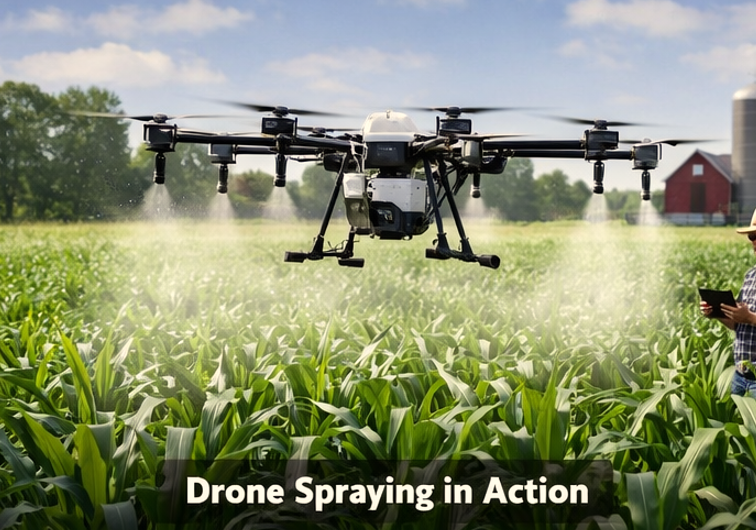
The Farmers managing 200–500 acres face rising chemical costs and labor shortages. Crop Spraying Drone Services deliver precise aerial applications, reducing herbicide and pesticide use by up to 18% while increasing coverage efficiency. Drones like the DJI Agras T50 operate autonomously, spraying at 10–12 mph with ±5 cm altitude precision.
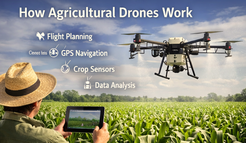
What Is Crop Spraying Drone Services
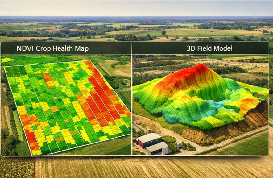
Crop spraying drones are autonomous aerial platforms equipped with high-capacity tanks, GPS-guided nozzles, and multispectral sensors. They perform variable rate applications, targeting crops with exact dosages. Using NDVI mapping, operators identify stressed areas and adjust chemical distribution, reducing overlap and crop stress.
Why Farms Are Adopting Drone Technology
| Metric | Traditional Method | Drone Application | Measured Gain |
|---|---|---|---|
| Coverage Rate | 50 acres/day | 120 acres/day | +140% efficiency |
| Chemical Usage | 10 liters/hectare | 8.2 liters/hectare | -18% cost |
| Labor Hours | 8 operators | 2 operators | -75% manpower |
| Drift Risk | Moderate | Minimal with RTK guidance | Safety ↑ |
Drones eliminate the need for tractors in wet fields, prevent soil compaction, and maintain crop canopy integrity. Farmers in Iowa reported $1,200 savings per 300-acre corn field using UAV spraying instead of traditional boom sprayers.
How Crop Spraying Drone Services Works Step by Step
Step 1: Field Assessment
Measure wind speeds and humidity using on-site sensors. If wind >15 mph, then postpone flight to reduce drift. Map field boundaries with RTK GPS to define precise flight paths.
Step 2: Flight Planning
Upload field shapefiles to the drone management software. Adjust chemical dosage per zone using NDVI stress maps. If NDVI <0.45, then increase herbicide rate by 10%.
Step 3: Drone Calibration
Check lithium-silicon battery health (>90% capacity). Calibrate pump pressure to 0.2 MPa. Align nozzles with ±2° tilt precision for uniform coverage.
Step 4: Spraying Operation
Launch DJI Agras T50 at 3 m/s. Maintain 2–3 m altitude for optimal droplet penetration. Monitor telemetry for flow rate and chemical levels. Return to base automatically when tank reaches 10% capacity.
Step 5: Post-Flight Analysis
Download coverage logs. Calculate chemical usage per acre. Update farm management system with GSD (Ground Sampling Distance) using formula:GSD=Focal Length×Image WidthSensor Width×Flight Height
This ensures precise mapping for future variable rate applications.
Equipment Used for This Service
| Drone Model | Max Payload | Spray Rate | Sensor Type | Key Feature |
|---|---|---|---|---|
| DJI Agras T50 | 20 L | 8 L/ha | Multispectral | RTK Positioning |
| DJI T30 | 30 L | 12 L/ha | RGB + NDVI | Auto Return Home |
| XAG P40 | 10 L | 5–6 L/ha | LiDAR optional | Foldable design |
| Phantom 5 RTK | 1.5 L | 1 L/ha | High-res RGB | Mapping support |
Compatible chemicals: glyphosate, atrazine, insecticides like chlorpyrifos. Avoid corrosive liquids exceeding 2 pH units outside neutral.
Real Farm Use Case
Location: Central Iowa, 350-acre corn field
Drone: DJI Agras T50
Wind: 7–9 mph
Spray Mission: Herbicide + Fungicide, variable rate based on NDVI
Results:
- Total chemical used: 2,870 liters vs. 3,400 liters manually
- Coverage completed in 2.9 hours vs. 7.5 hours manually
- Yield improvement: +4% due to reduced crop stress
- Operator count: 2 vs. 8 for conventional sprayers
Telemetry logs confirmed ±3 cm altitude precision and uniform droplet size (~150 μm), minimizing drift.
Pros and Cons of Crop Spraying Drone Services
| Pros | Cons |
|---|---|
| Precise chemical application | High initial investment ($15k–$25k per drone) |
| Labor reduction | Requires Part 107 certification |
| Operates in wet or uneven fields | Limited tank capacity per flight |
| Integration with farm management software | Battery recharge cycles limit continuous operations |
| Reduced soil compaction | Sensor calibration required daily |
Common Challenges and Solutions
| Challenge | Solution | Data/Fact |
|---|---|---|
| Battery depletion mid-flight | Use dual lithium-silicon batteries, maintain >90% SOC | DJI Agras T50: 22 min flight per full tank |
| Wind drift | Check real-time anemometer; postpone if >15 mph | Drift risk increases 40% above 15 mph |
| Clogged nozzles | Flush nozzles pre-flight; replace worn tips | Spray logs show 5% blockage rate without SOP |
Future of Drone Farming Technology
Autonomous swarms and AI-assisted target spraying will enable simultaneous multi-field coverage. Integration with RTK base stations and real-time weather APIs can reduce chemical waste by up to 25%. Expect new battery chemistries extending flight time to 40 minutes per tank.
Finding Reliable Drone Service Providers
Farmers should prioritize FAA Part 107 certified operators with insurance coverage and verified flight logs. Look for service providers offering multi-drone fleets, NDVI mapping, and post-flight reporting. Local directories ensure providers meet state pesticide application regulations.
FAQ
1. How much does a crop spraying drone service cost per acre?
Typical pricing ranges from $12–$20/acre depending on field size, chemical type, and drone model. Large farms may see cost savings of 15–20% compared to tractor spraying.
2. How quickly can drones cover my farm?
A DJI Agras T50 can cover 120 acres in 3 hours. Flight duration depends on battery capacity, payload, and weather conditions.
3. Are drones safe for pesticide application?
Yes, when operators follow FAA Part 107 rules and chemical safety guidelines. Drones reduce drift and prevent soil compaction.
4. Can drones spray on wet or uneven terrain?
Yes, UAVs maintain altitude and speed automatically. They outperform tractors in muddy or hilly fields, maintaining ±5 cm precision.
5. How do I find a trusted drone service provider?
Check for Part 107 certification, verified NDVI mapping experience, and positive field performance reports. Use directories listing FAA-compliant providers in your state.